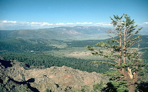
LONG VALLEY CALDERA
California
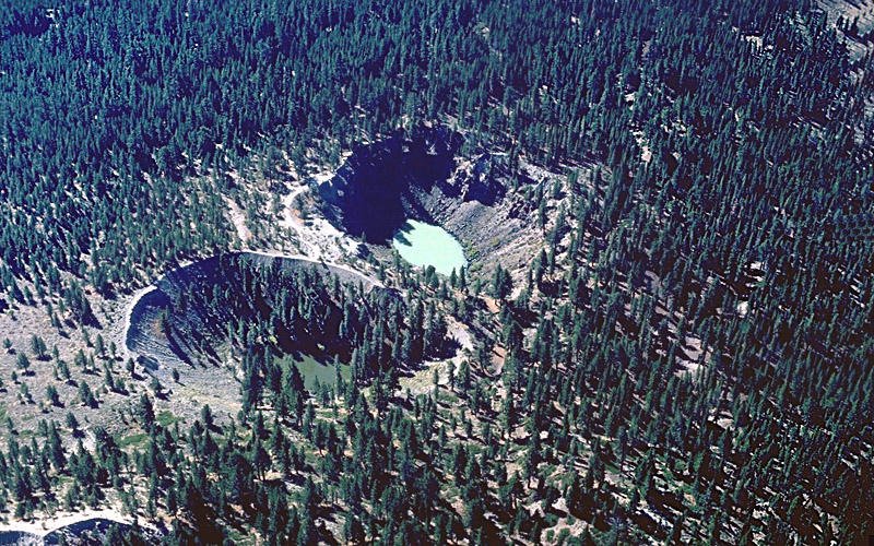 Aerial view of Inyo Craters. |
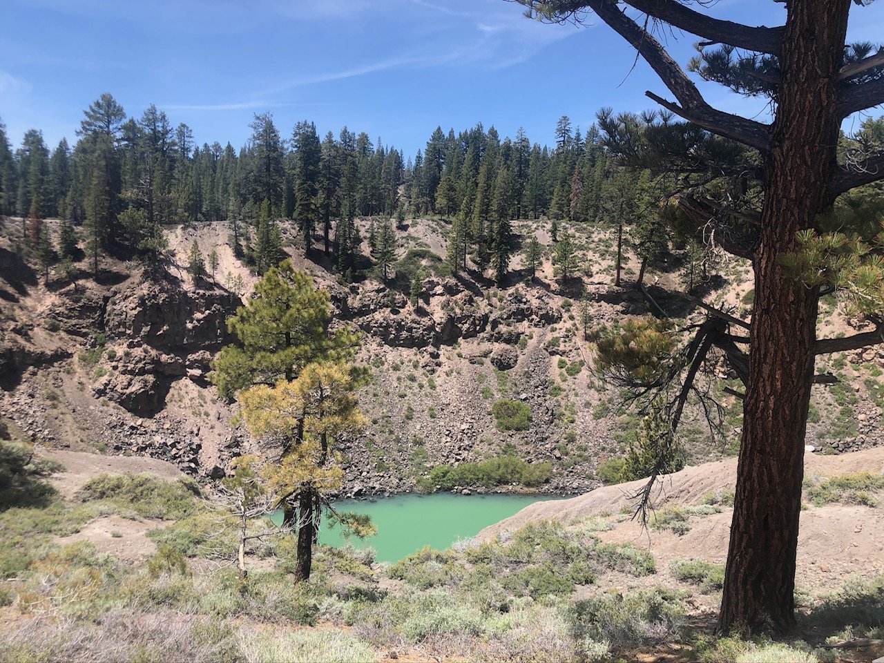
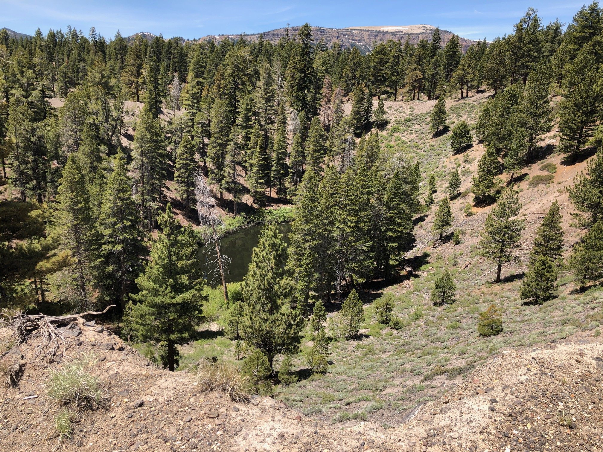 Looking down into North Inyo Crater. |
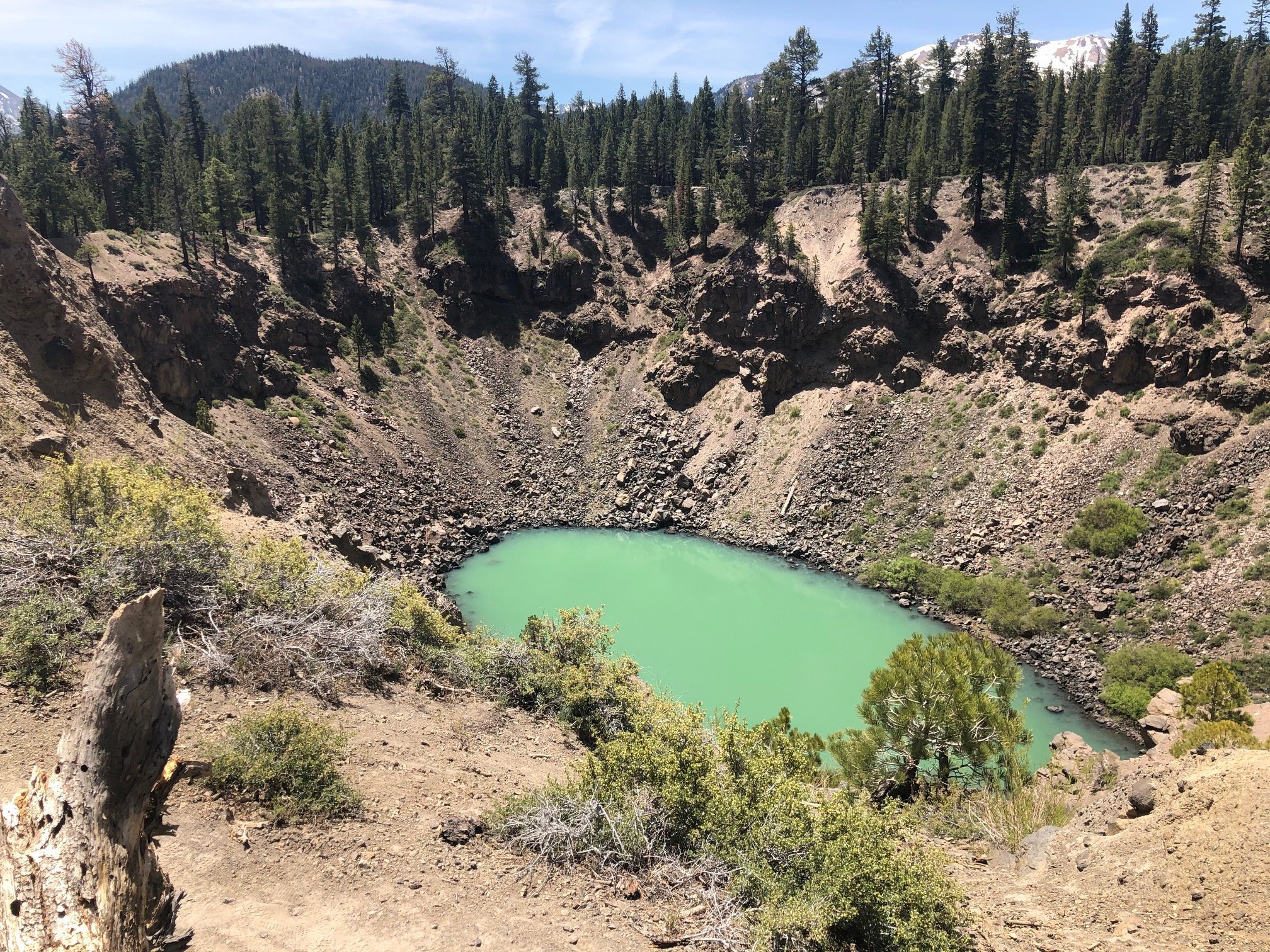
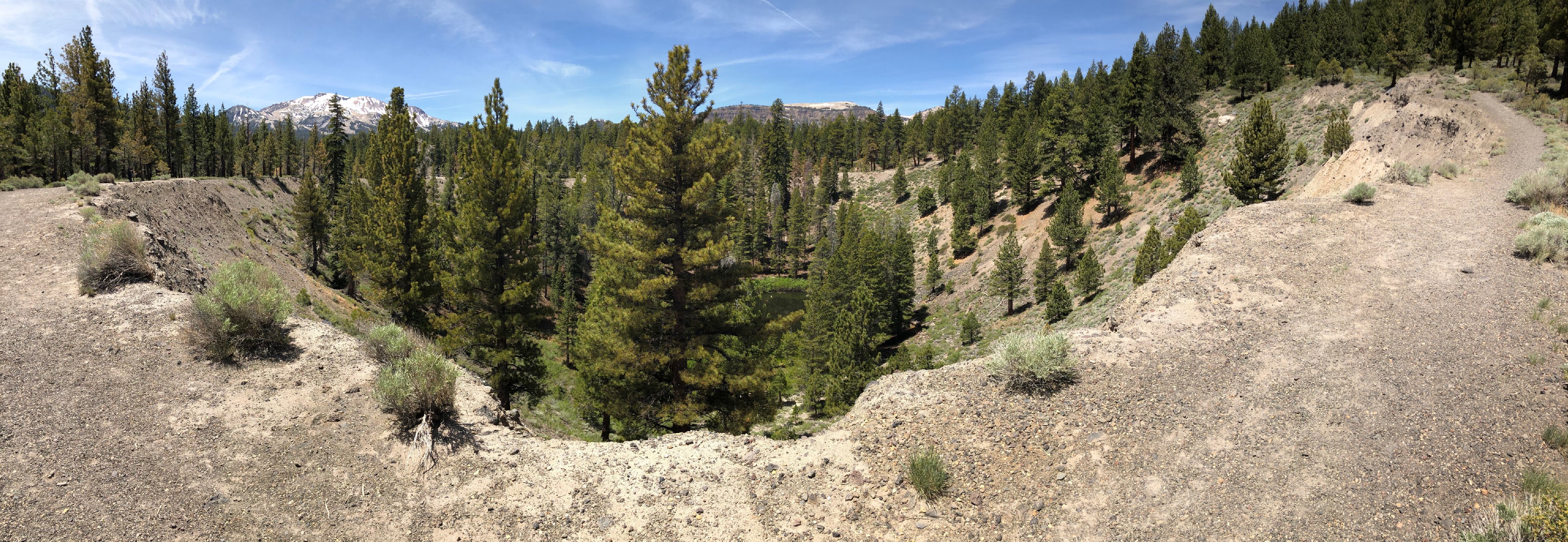 Panorama of North Inyo Crater. |
 Looking down into North Inyo Crater. |
 Looking down into South Inyo Crater. |
 Looking down South Inyo Crater. |
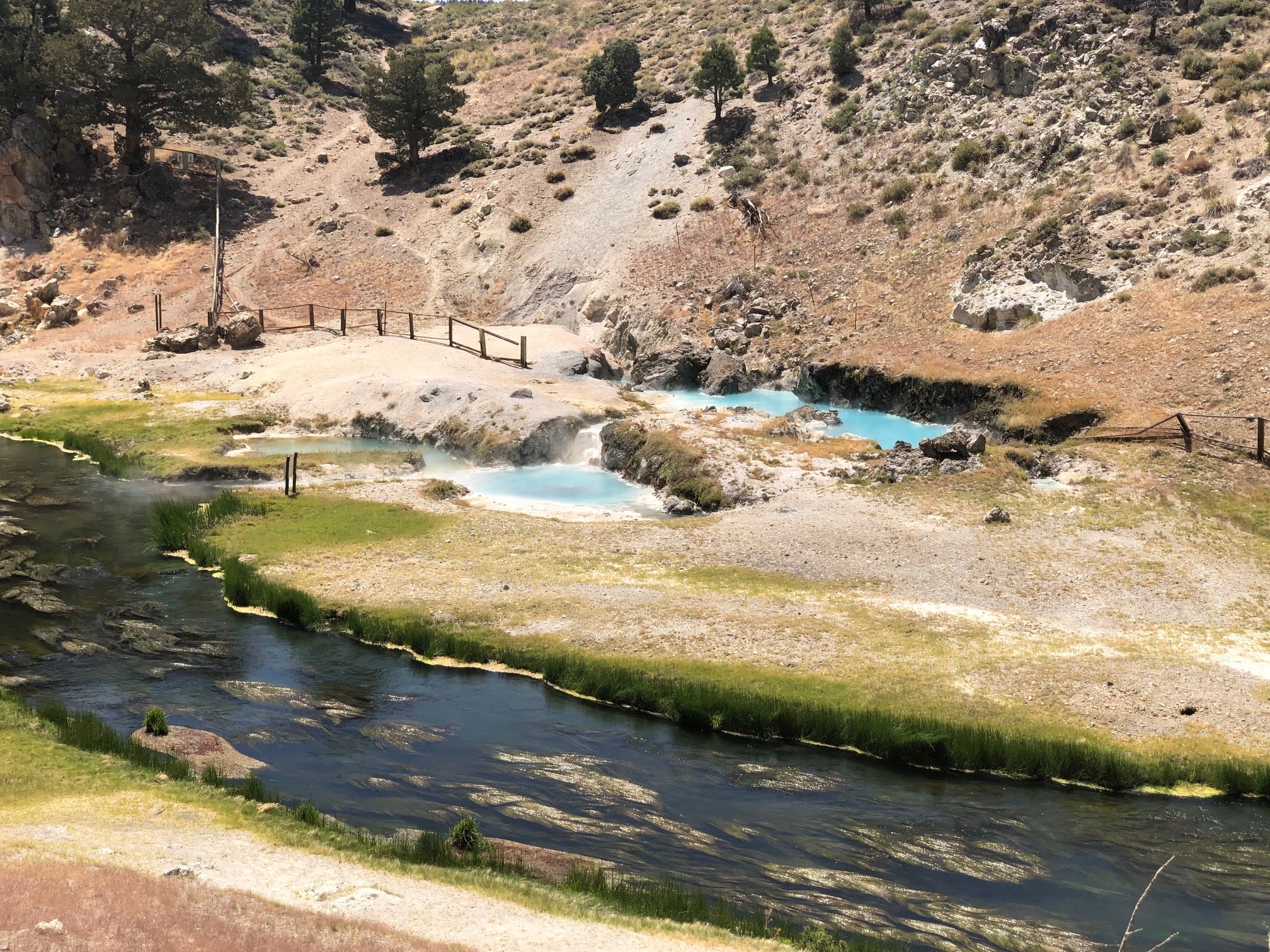 Hot Creek with boiling pools. |
 Creekside hot pool. |
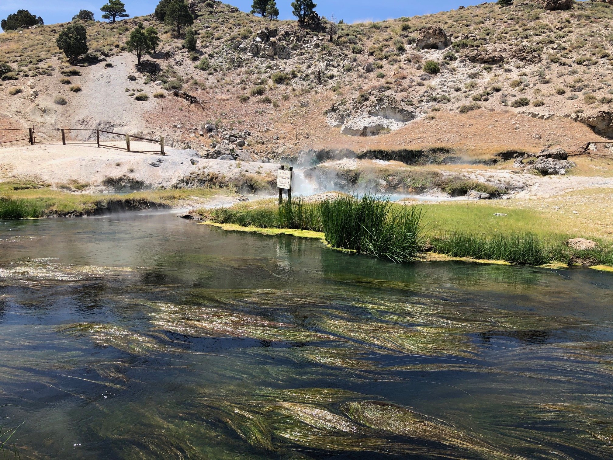
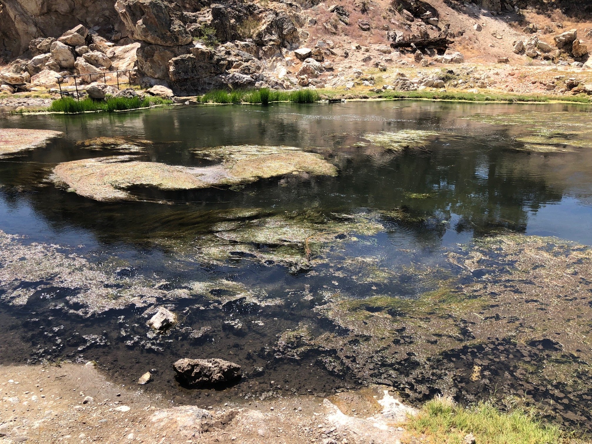 The creek itself boils. |
 Obsidian Dome. |
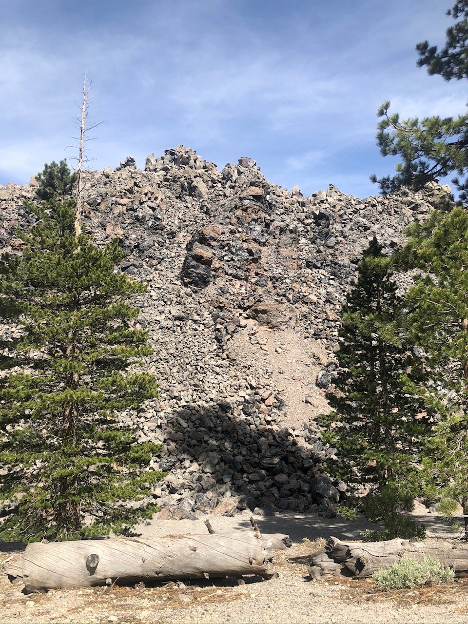 Obsidian Dome. |
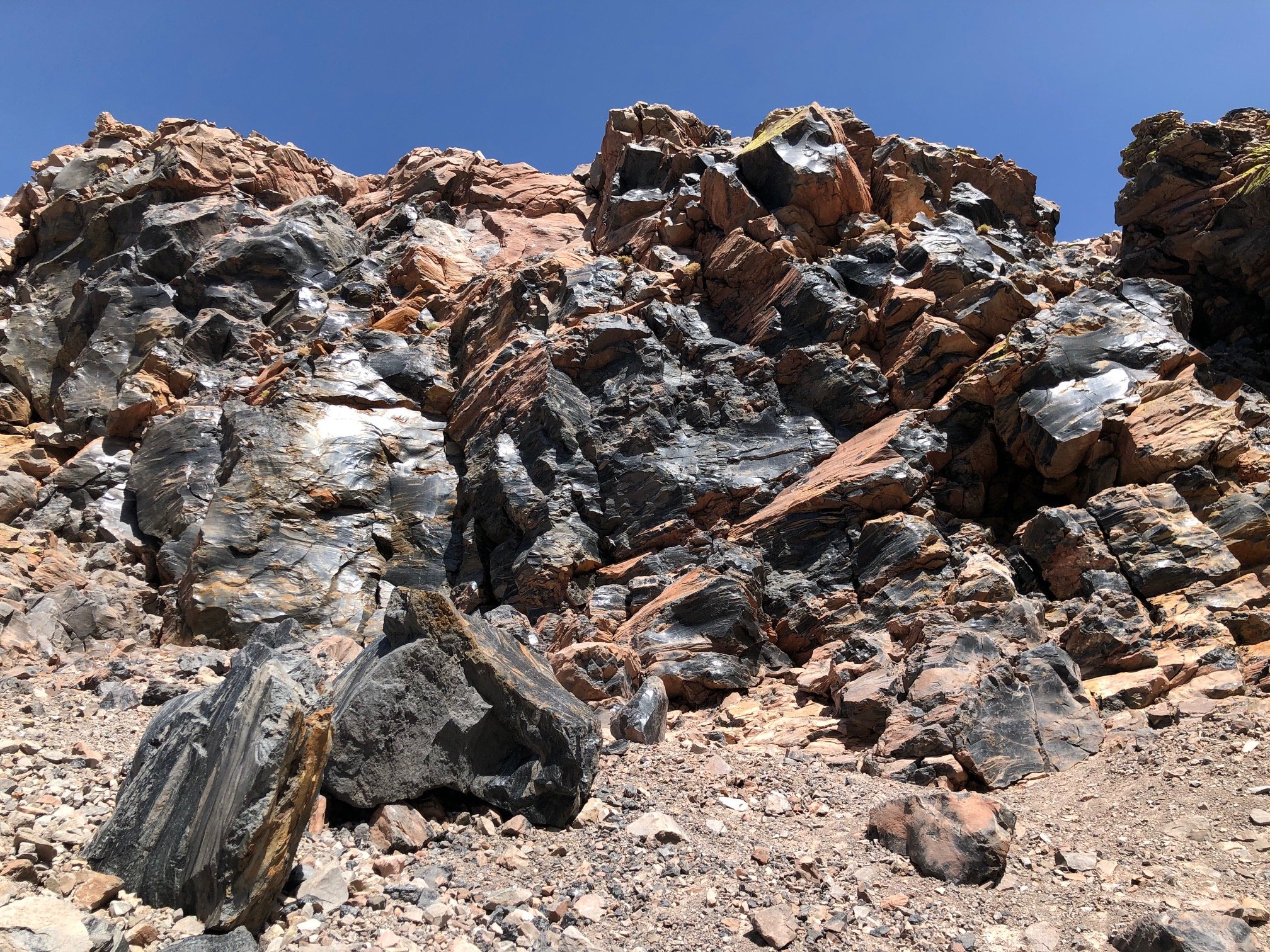
 Face of Obsidian Dome. |
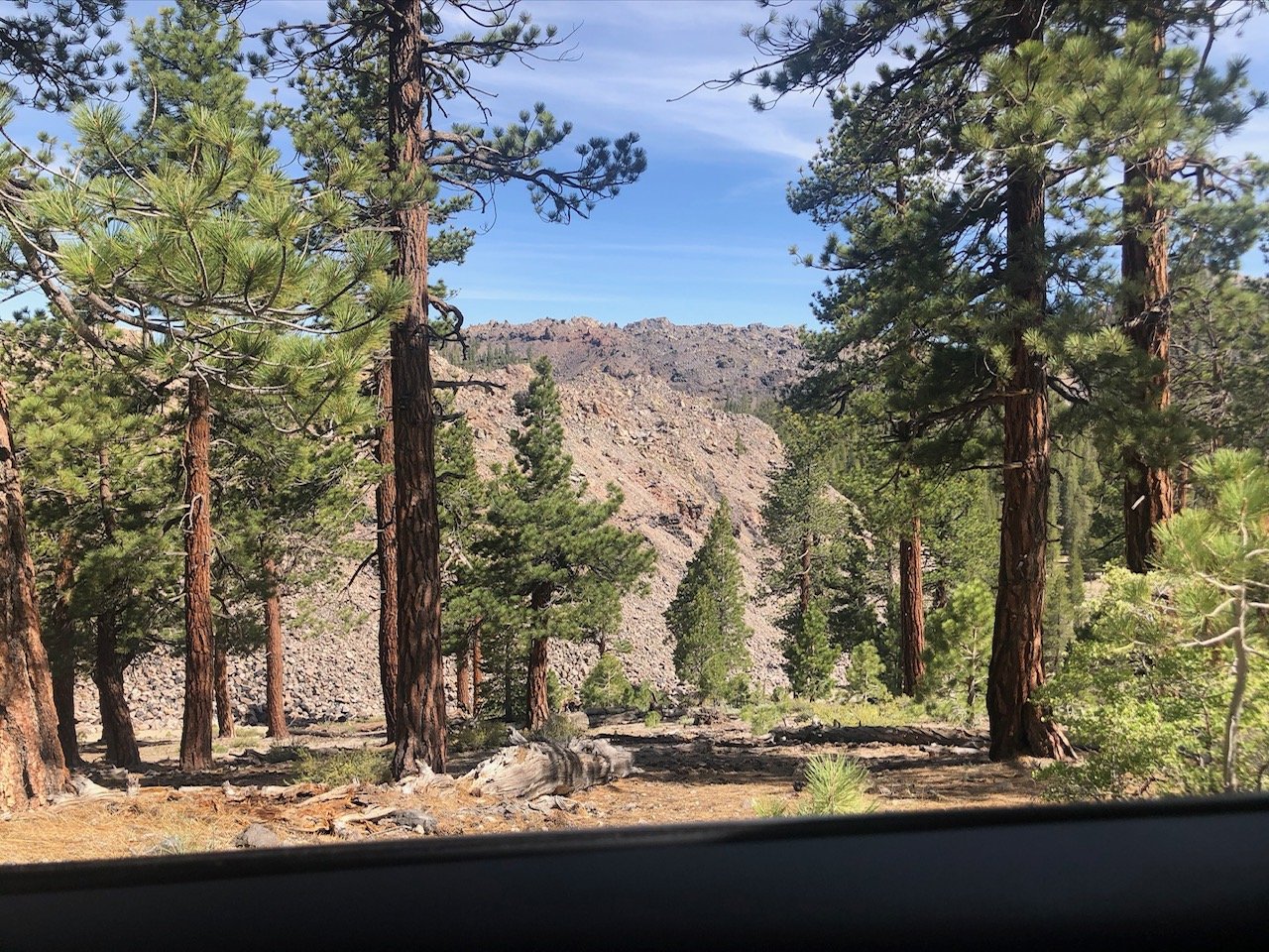
 Rock formations. |
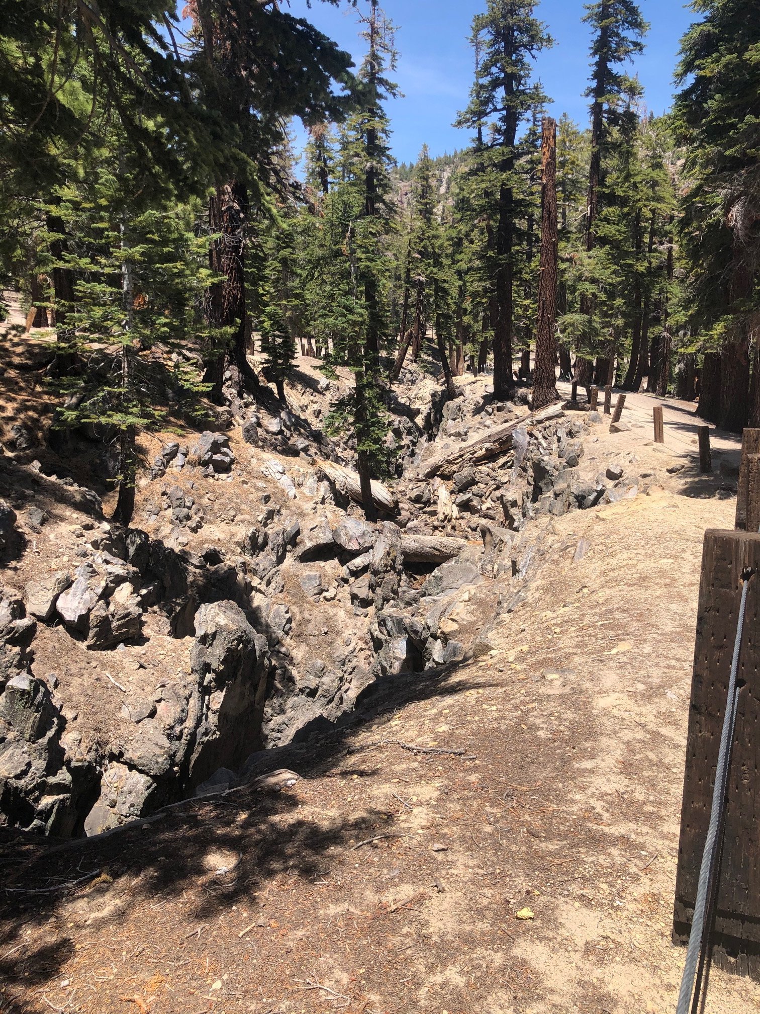 Earthquake Fault. |
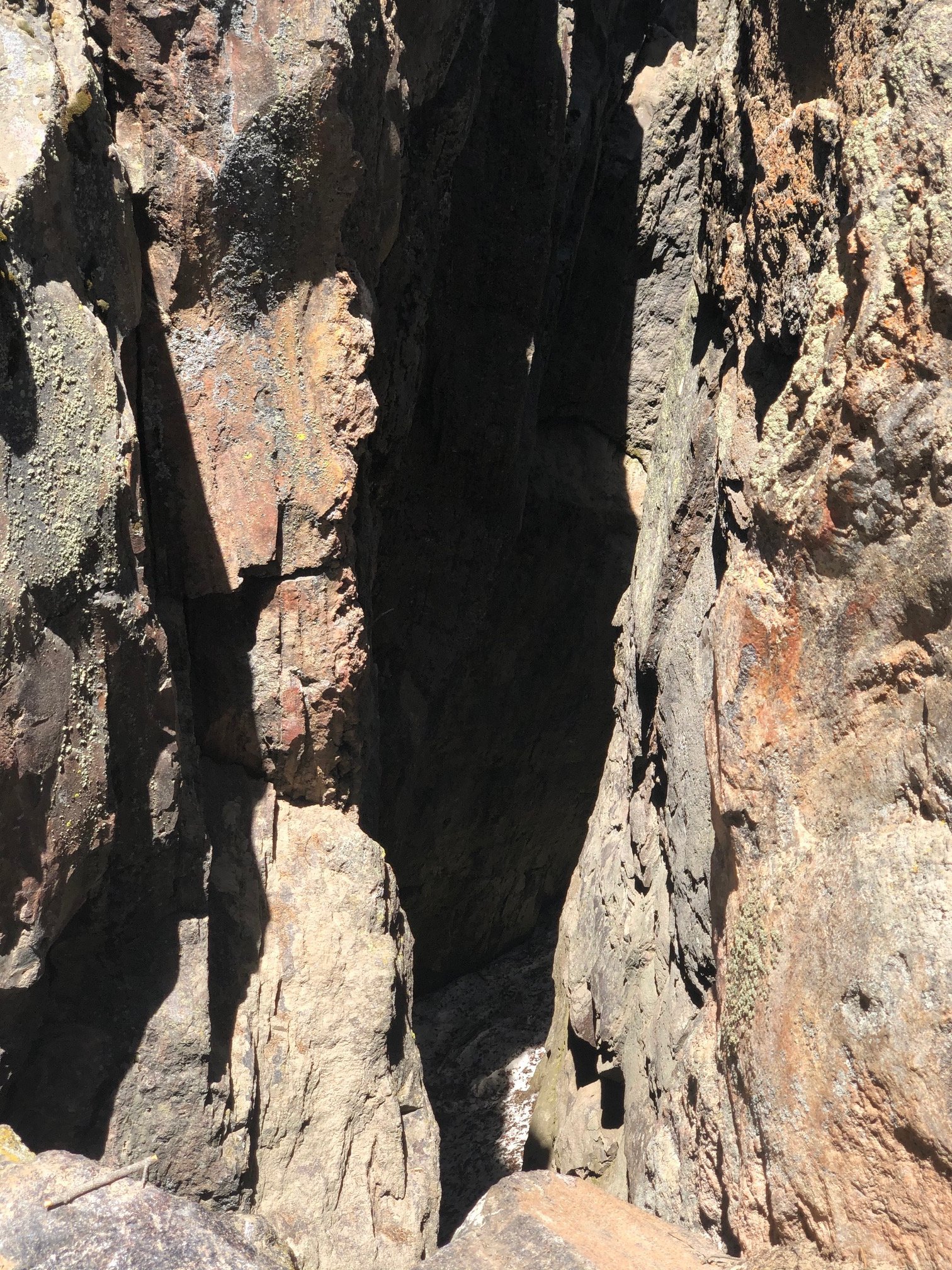 Earthquake Fault. |
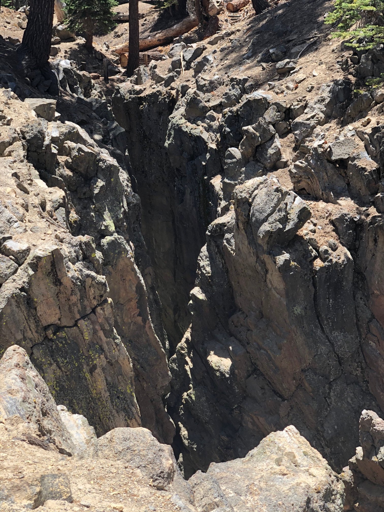 Earthquake Fault. |