In the distant wilds of the US, just outside Reno, Nevada, lies the remains of a forgotten piece of aviation history. On a windswept hill overlooking the city is a cracked concrete arrow, obscured by weeds and pointing toward the former Reno Airport, now a golf course. 90 years ago this arrow was part of a network of such signs, placed throughout the US to help guide the brave aviators of the nascent airmail service. Accompanied by a lighted tower, the arrows pointed out the route for pilots to travel, from town to town. As time passed, and air navigation and communication improved, the arrows and beacons became obsolete. The towers were largely sacrificed as scrap metal during World War II and the arrows themselves were sometimes destroyed so that they wouldn't aid any potential invaders. A few remain, scattered in lonely spots around the country, and on 29 May 2016 XXXIX it was one such arrow remaining outside Reno that Molossians set out to find. On a warm Sunday afternoon, His Excellency, The President and the Chief Constable sallied forth into the hills west of Reno, traveling 5 Imperial Nortons (5 km/3 mi) along an irrigation canal known locally as the Steamboat Ditch, before making a final climb to the arrow. Having reached their destination, the explorers took pictures, admired the view and had lunch on the arrow, while imagining the brave aviators of old using this beacon among others to find their way. Their mission accomplished, the duo trekked homeward along the canal, having achieved their goal - and for a moment, touched history.


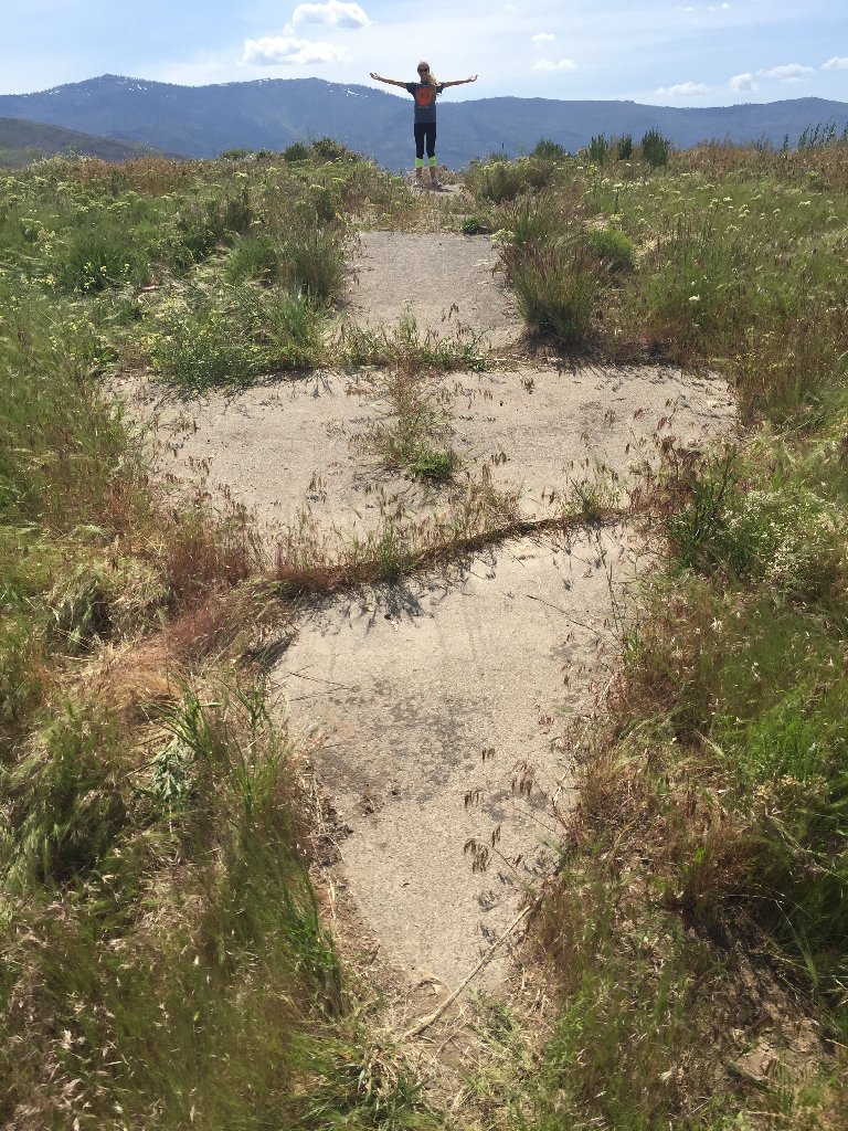
On The Trail To The Arrow
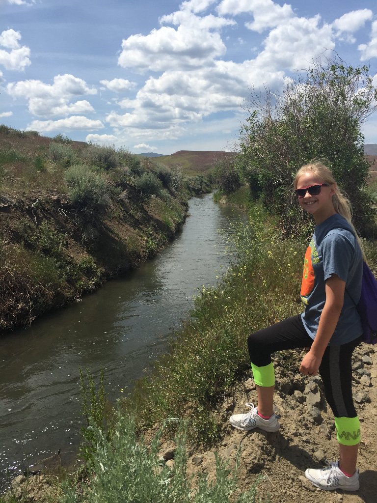
Into The Woods

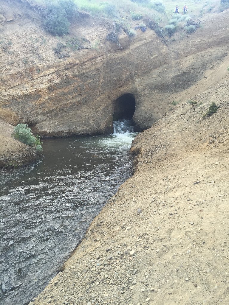
The Hole In
The Wall
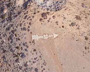
The Arrow

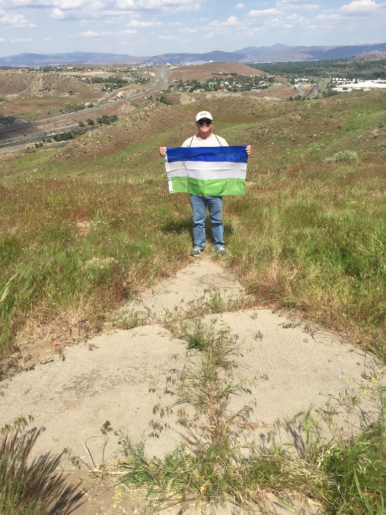
Molossian Flag
At The Arrow

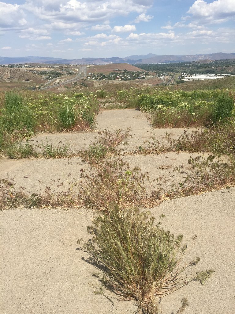
The Tail Of
The Arrow And
Reno Beyond

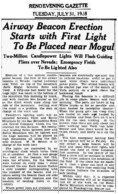
Original News
Article About
The Arrow

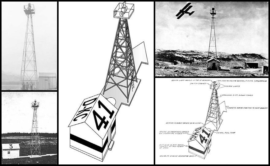
What The Beacon
Would Have
Looked Like
In Its Heyday

The Arrow
From Space


Return to the Molossian Geographical Society Page.